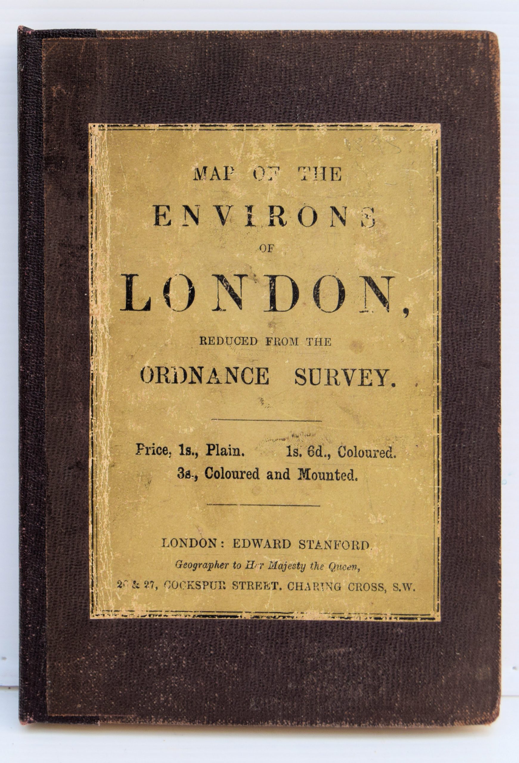
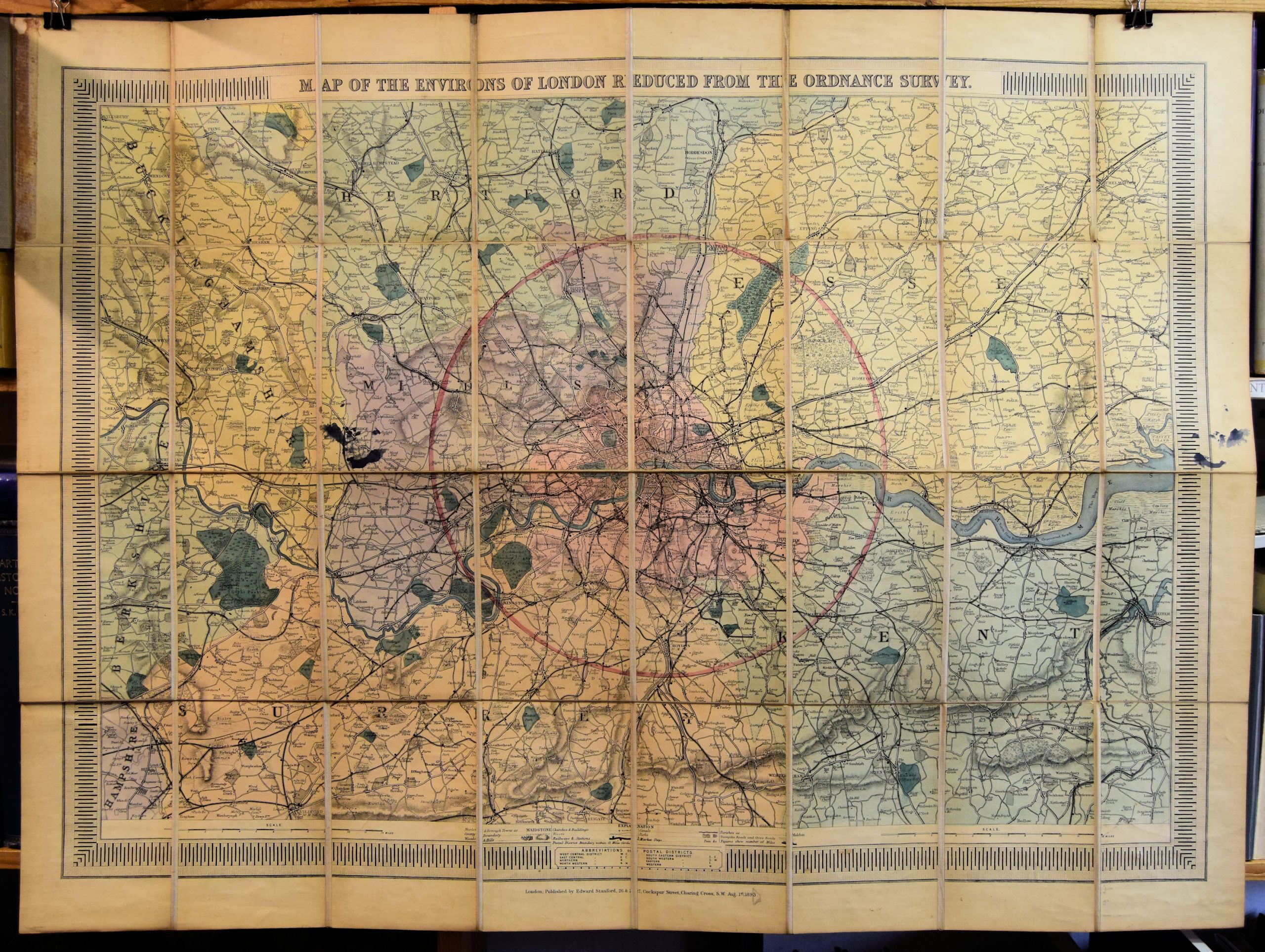
A Map Of The Environs Of London Reduced From The Ordnance Survey…
Preserved in the original embossed brown cloth-covered boards with yellow printed paper label to upper board, inside upper board and map outer fold. Neatly rebacked, title label showing signs of wear and ink stain over Hillingdon and Uxbridge with consequent mirror offset to right hand map border
Publisher
Edward Stanford, 26 & 27, Cockspur Street, Charing Cross, S.W.,
Place
London.
Date
August 1st, 1893..
Synopsis
Price, 1s., plain. 1s. 6d., coloured. 3s., coloured and mounted.
Item Description
Large hand-coloured folding map, 36 x 26 inches, dissected and laid on to linen with printed card to exposed fold. Area covered extends from Hertford to Reigate and Great Marlow to Chatham.
Notes
Stanford's has a long history of map making and selling, and Stanford maps were detailed and highly accurate.
[Stock No. 21468]