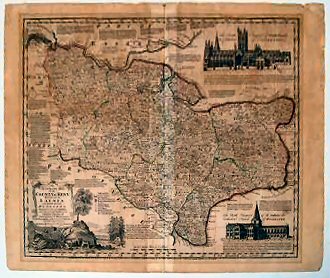
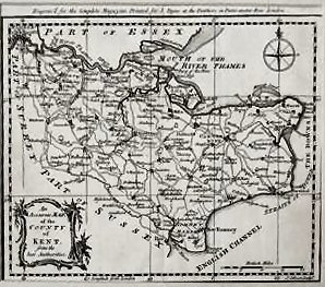
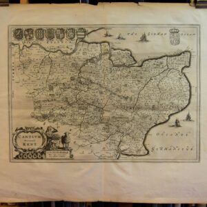
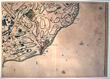
Maps “AN ACCURATE MAP OF THE COUNTY OF KENT DIVIDED INTO ITS LATHES, AND SUBDIVIDED INTO HUNDREDS..” has been added to your basket. View basket LONDON. PADDINGTON TO ISLINGTON NEW ROAD.. A Plan Of The Intended New Road From Paddington To[full title…] 1756 See full details Add to basket Plan backed on to card. Slight foxing,… £125.00 HASTED, EDWARD.. Amaps Of The Hundreds Ain Kent.. 1778-1801. See full details Add to basket The 34 sheets show the whole county… £85.00 BOWEN, EMANUEL.. An Accurate Map Of The County Of Kent Divided Into[full title…] 1762 See full details Add to basket Lightly browned with traces of old folds… £350.00 GIBSON. J.. An Accurate Map Of The County Of Kent From The[full title…] 1765 See full details Add to basket Signs of old folds, a very good… £75.00 COWLEY, JOHN.. An Improved Map Of Kent.. 1744 See full details Add to basket Trace of original fold but a very… £70.00 VICTORIAN RAILWAY MAP.. Black’s Road And Railway Travelling Map Of Scotland.. c.1875. See full details Add to basket Bound in the original green cloth with… £100.00 CANTERBURY - DAWSON, ROBERT, LIEUT. R.E.. Canterbury. (from The Ordnance Survey). 1831 See full details Add to basket A fine example with very attractive colouring. £60.00 KIP, WILLIAM, AFTER NORDEN, JOHN.. Cantium Quod Nunc Kent.. 1610 See full details Add to basket Backed on to two sheets of paper.… £250.00 BLAEU, J.. Cantium Vernacule Kent. [engraved Map Of Kent].. 1646 See full details Add to basket A very fine example. £500.00 HULL, DR. FELIX. EDITED BY.. Catalogue Of Estate Maps 1590-1840 In The Kent County Archives[full title…] 1973 See full details Add to basket Original stiff printed card wrappers. A very… £45.00 SKELTON, R.A... Decorative Printed Maps.. 1967 (3 rd imp.). See full details Add to basket Blue cloth, gilt to spine. Very good… £20.00 DOVER - ANDREWS, J., A. DURY, AND W. HERBERT.. Dover – A Topographical Survey Of The County Of Kent. 1769 See full details Add to basket A fine example. £300.00 ← 1 2 3 4 5 6 7 … 14 15 16 →